Site Maps
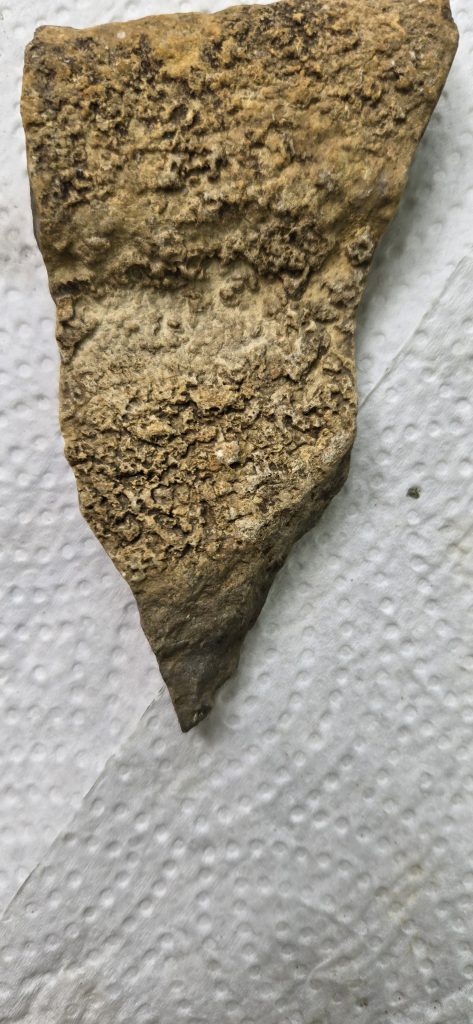
This is a (stone) map left to me by Native Americans from as long ago as 2,000 to 4,000 years ago, when they inhabited Bourbon County. It is a petroglyph hand-carved stone modified by an application of a Cementous substance and carved with stone hammers, chisels and drills. This is one of many artifacts I have found by digging in my yard following the 1896 newspaper article describing a “structure” found while building Crawford Street. That description fits the description of a primitive rock smelter like the one in Gunn Park we have always known as a “Bear Den”. The one described in the article was in my front yard and was written off as “an old Indian grave”.
Shown on the map is a carved-out area depicting Gunn Park with the Bear Den marked with a hole and a “smelter symbol”. Also marked on the stone is the smelter that was in my front yard, smelters that were located at 6th and Main and 9th and Main and other smelters that were in Gunn Park and some farther south in the community college area. I can see about 10 such locations, and there were more around the county. The complete area shown on the stone was being mined, with the melted materials being shipped off to other countries or nations. Those materials may have been gold, silver, copper, or steel…. I have another map that depicts various materials being mined at various locations. How far back in history this story goes, I do not know, but this find is a starting point.
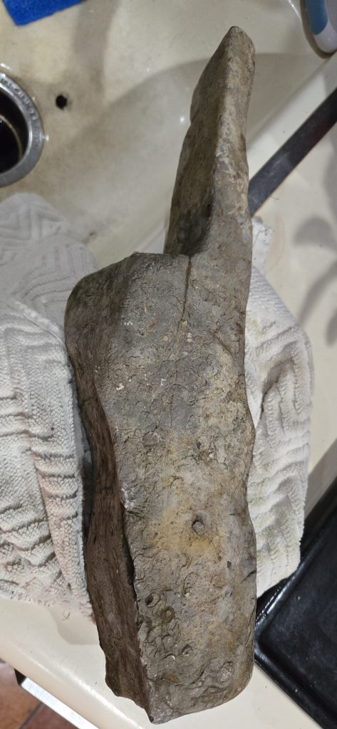
Here is a stone hammer and chisel I found…