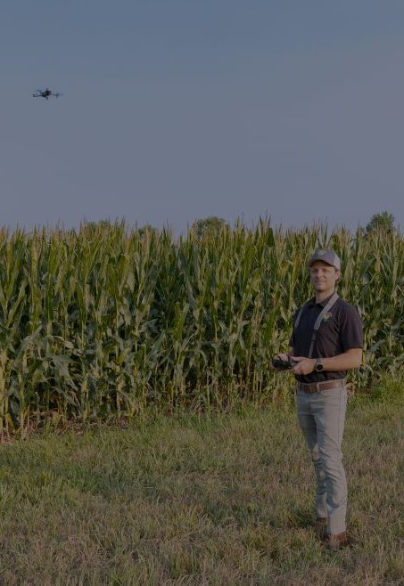
Christopher Catalano began his agricultural drone business, SEK Agra Drones, in the Spring of 2024.
“SEKAD came about being asked if my drone can perform stand counts and can I pilot a DJI T40 spraying drone by a local Bourbon County grower,” he said. “This question sent me down a rabbit hole realizing with all the new drone agricultural technology, there are specific application scenarios that can save growers time and resources.”
The services SEKAD provides are:
Aerial Seeding – SEKAD can spread seed and granular commodities via a DJI T40 Drone for both blanket and spot-specific applications.
Goal: Aerial spreading cover crop seeds over an existing crop at the end of the season has proven to be very beneficial for growers.
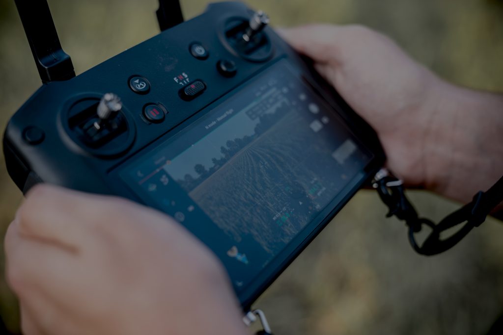
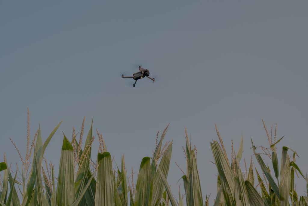
Crop Health Analysis – NDVI (Normalized Difference Vegetation Index) & NDRE (Normalize Difference Red Edge) images are generated by SEK Agra Drone’s M3M Drone which uses the reflection of light in the near-infrared (NIR) and red bands of the electromagnetic spectrum to create a color-coded image of vegetation cover especially for crop nitrogen status. Vegetation indices identify areas of a field that are underperforming allowing immediate action applying pesticides, fertilizers, etc. with accurate informed decision making backed by data.
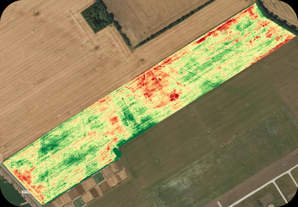
Goal: Measuring the amount of chlorophyll in plant leaves, NDVI/NDRE is often used to assess nitrogen stress independent of the amount of soil nitrogen penetrating the lower canopy of plants. Often used to create variable rate nutrient application maps pre and post-application.
Prescription (Treatment Maps) – Correlating with crop health analysis, data collected via drone of a crop is stitched together creating a detailed aerial GPS map. Prescription maps are delivered as a .shp (shape file), PDF to upload onto your equipment’s computers and tablets, laptops, etc. for accurate boots-on-the-ground analysis.
Stand Counts – Plant population count and emergence percentage across a field help make advanced decisions for replanting or additional inputs for augmented growth. Row crops for stand counts: Canola | Corn | Cotton | Soybean | Trees | Vegetables.
Goal: With the heavy Spring rains Bourbon County received this year, many fields already planted with corn were in V2-V5. Stand counts proved beneficial in determining re-capitalization of replanting washed-out portions of local grower’s fields.
Weed Identification – Identification of green on brown weeds and other unwanted growth in a field with GPS location map generation. Weed ID data can be used for spot spraying applicators with the option of providing treatment to hard-to-reach locations.
Goal: Treatment on hillsides, waterways, rough terrain, and smaller plots, resulting in chemical savings, and wear and tear on a ground rig.
He services Fort Scott | Radius encompassing Bourbon County-Kansas City Metro-Wichita-Joplin-Northwest Arkansas and everywhere in between.
His unofficial employee is his son high school senior, Gavin.
“He works for a local Bourbon County Farm and takes to the sticks flying agricultural drones with a second-natured expertise. Gavin brings youthful enthusiasm with an understanding of row crop health and ailments.”
“The agricultural drone industry is consistently evolving year over year bringing new innovations to ‘Smart Farming.’ SEKAD’s goal is to always provide added value to a grower or producer avoiding being a solution looking for a problem. The more connected we become with our local growers, the more vetting of innovative technologies can be applied utilizing a drone. We have a partnership with another business to utilize spraying of fungicides, herbicides, and pesticides via drone when requested.”